Long ago, the whole Vatican Library could be catalogued in one notebook. Nowadays, with 82,000-plus manuscripts alone and huge numbers of printed books, it needs a database.
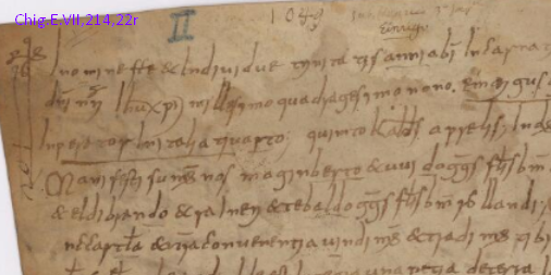
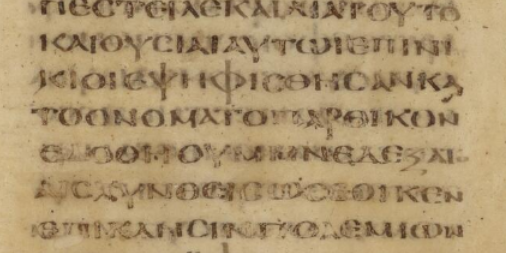
Among items digitized in the past week is Vat.lat.3955, an inventory of the library in 1518 by
catalog reminds us that all the books were chained to the banchi, or benches. Most of the users were supposedly virtuous Catholic clergy, but that was no guarantee of propriety.
Here is the full list of 23 items:
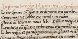
Among items digitized in the past week is Vat.lat.3955, an inventory of the library in 1518 by

catalog reminds us that all the books were chained to the banchi, or benches. Most of the users were supposedly virtuous Catholic clergy, but that was no guarantee of propriety.
Here is the full list of 23 items:
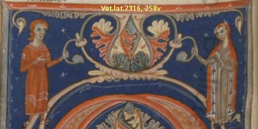
- Ross.10,
- Vat.gr.2064 (Upgraded to HQ), from Greek-speaking Calabria
- Vat.lat.3055,
- Vat.lat.3096, Latin translation of Ptolemy of Alexandria and other scientific authors. See the full contents listed on Jordanus. This also contains a work attributed to the mathematician Thābit ibn Qurra translated into Latin by Jordanus de Nemore
- Vat.lat.3106,
- Vat.lat.3131, Francesco Maurolico (1494-1575), mathematician and astronomer from Sicily, made contributions to the fields of geometry, optics, conics, mechanics, music, and astronomy. His "Arithmeticorum libri duo" (16th c.) is now among the #LatestDigitizedManuscripts: https://t.co/Jb2wv6NkUS pic.twitter.com/DLUH8VfXA4— Digita Vaticana (@DigitaVaticana) September 13, 2018
- Vat.lat.3174 (Upgraded to HQ),
- Vat.lat.3529, Decretum (Gratianum?)
- Vat.lat.3659,
- Vat.lat.3675,
- Vat.lat.3688,
- Vat.lat.3703,
- Vat.lat.3711,
- Vat.lat.3718,
- Vat.lat.3744,
- Vat.lat.3788 (Upgraded to HQ),
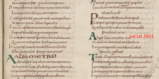
- Vat.lat.3813,
- Vat.lat.3832 (Upgraded to HQ), penitential canon law collection
- Vat.lat.3863,
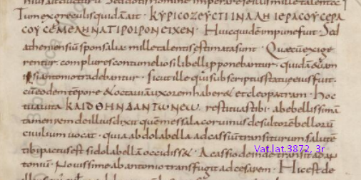
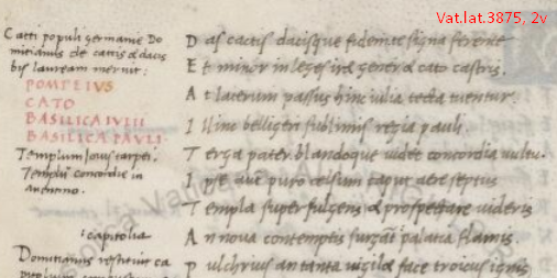
- Vat.lat.3877,
- Vat.lat.3941,
- Vat.lat.3955 (Upgraded to HQ), Inventory of the Library (above)
- Vat.lat.3992,


